The Port of Rochdale
|
|
Return
Manchester to Failsworth
Failsworth to Castleton
Castleton to Rochdale
Rochdale Basin
Rochdale
to Littleborough Littleborough to
Todmorden Todmorden to Hebden Bridge |
|
|
The Rochdale Branch is about a quarter
of a mile in length from its junction with the main canal at Oldham Road
to Drake Street.
This branch has been reffered to as "The Port
of Rochdale" |
|
|
|
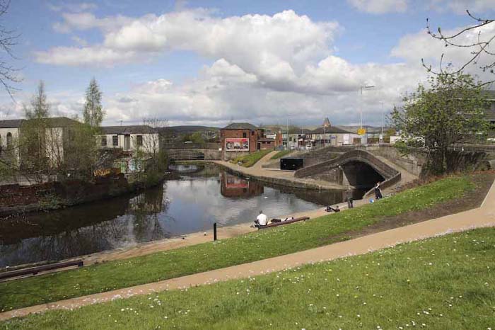 |
This is the junction of the
Rochdale Canal and the branch toward the centre
of Rochdale
The canal goes under the Oldham Road
(A671) and continues on towards Littleborough.
The Rochdale branch now ends at Durham
Street bridge which is seen in the photograph.
Photo May 2010
|
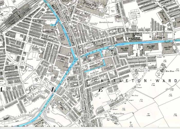 |
The map dates 1908.
It shows the Rochdale branch as far as the railway
line with the numerous mills along the canal. This was the industrial
heart of Rochdale.
|
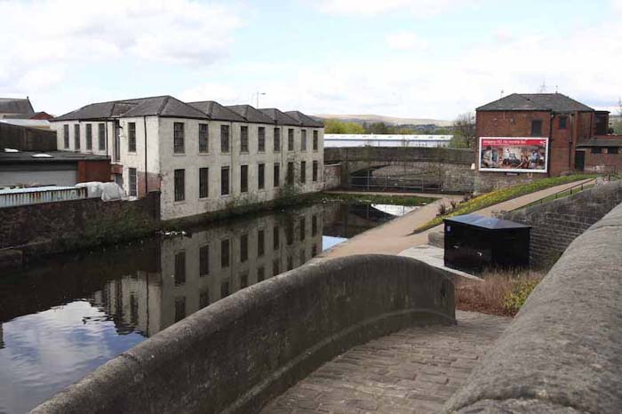 |
Photograph from the Oldham
Road shows the bridge with a path for horses to cross from one side of
the canal to the other where the tow path changes sides.
Photo May 2010
|
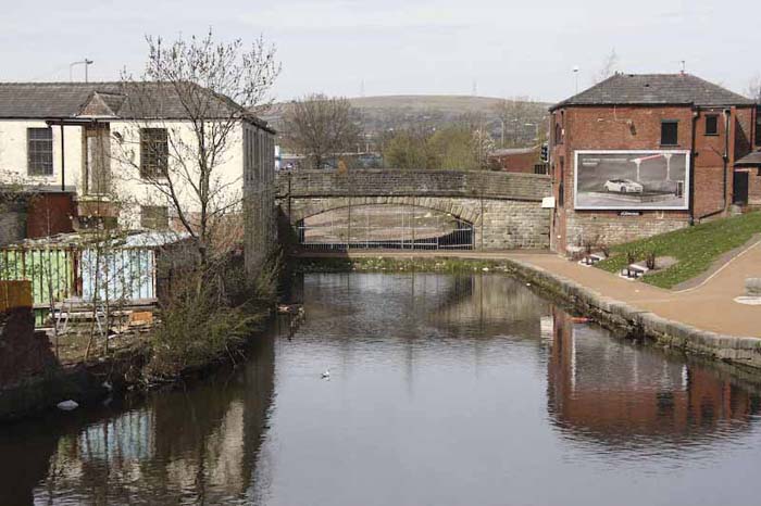 |
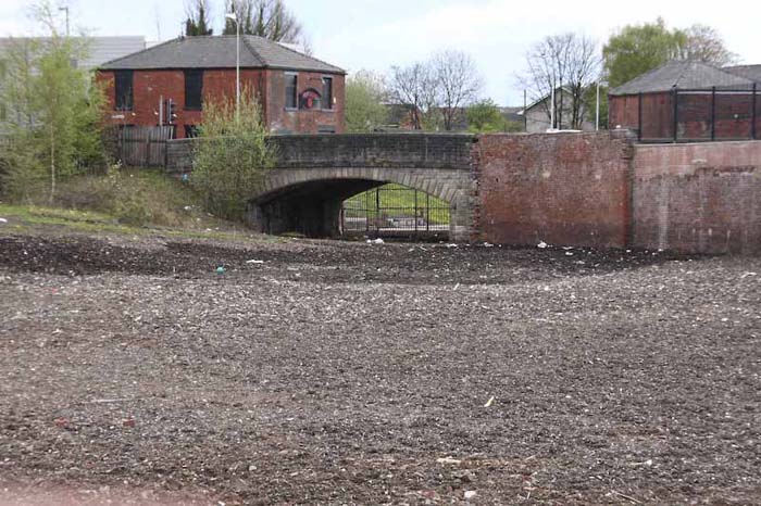
Durham Street Bridge with
the Rose of Lancaster (now closed) on the right.
Photo April 2010
|
 |
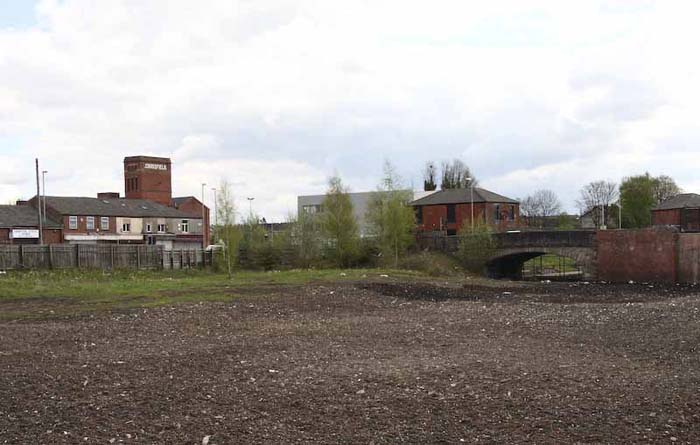
Durham Street Bridge from
the other side. Grove Mill once stood here along the branch of the
canal.
Photo April 2010
|
 |
As previous Showing Durham
Street Bridge and Crossfield Mill which is in the main line of the
Rochdale Canal.
Photo April 2010
|
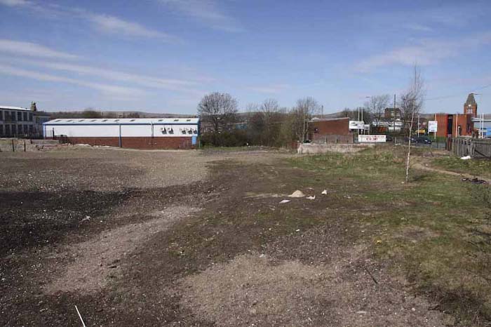 |
Looking from Durham Street
bridge toward the Rochdale basin The canal would have flowed straight
ahead through where the trees now grow.
Photo April 2010
|
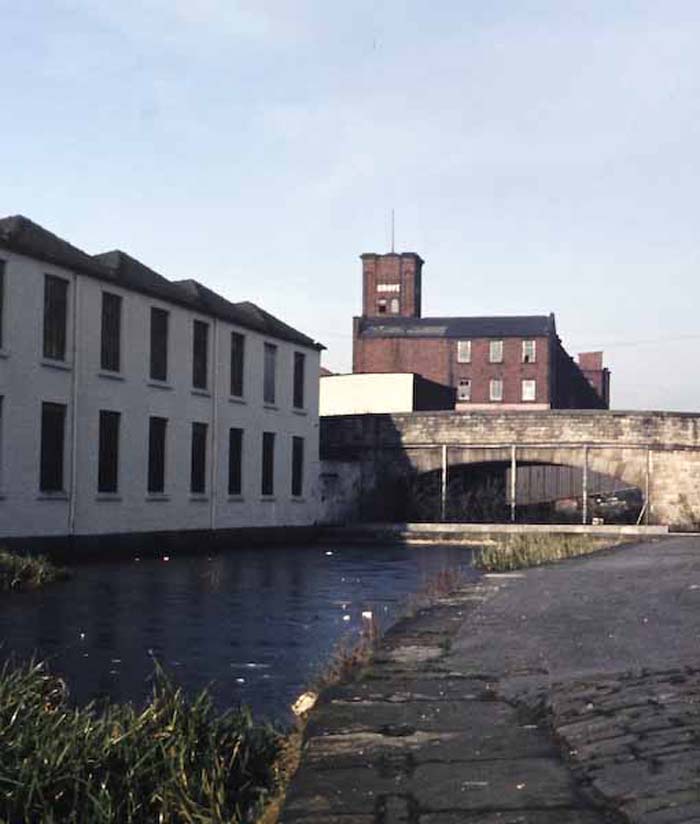 |
Durham Street Bridge 1983
with Grove Mill in the background
Photo February 1983
|
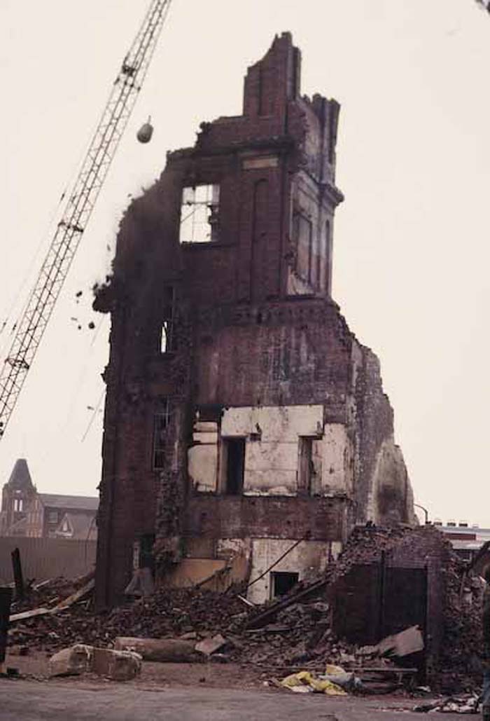 |
The demolition of Grove Mill
Photo April 1984
|
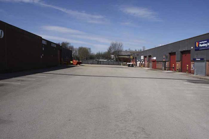 |
Halfpenny Bridge Industrial
Estate., Halfpenny Bridge in the centre.
Photo: April 2010
|
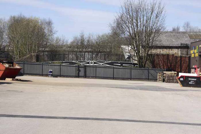 |
Close up of Halfpenny
Bridge.
Photo: April 2010
|
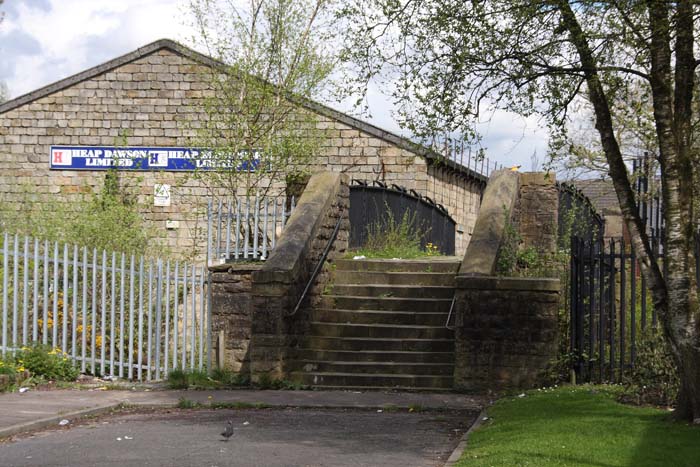 |
The steps up to Halfpenny
Bridge from Lincoln Street.
Photo: April 2010
|
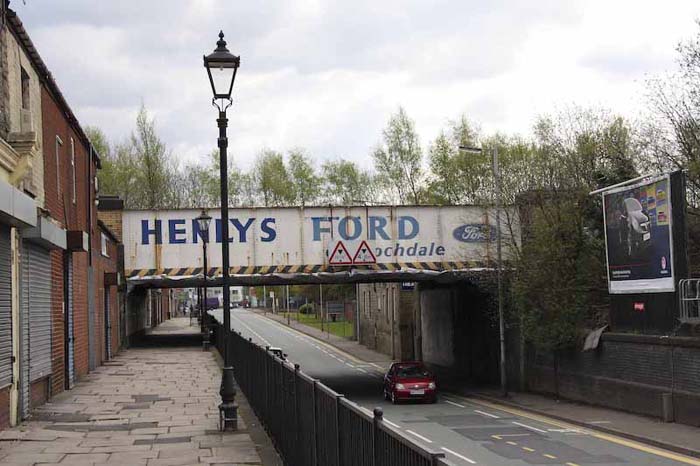 |
The "Landing" on the Oldham
Road. The entrance to Halfpenny Bridge is just past the building on the
right under the railway bridge.
The photo was taken April 2010 but still
advertizes "Henley Ford"
|
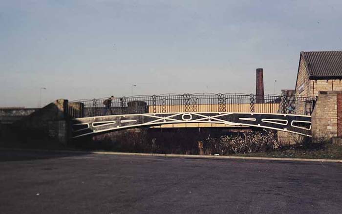 |
Halfpenny Bridge; photo
taken 1984. Just beyond the bridge is the railway bridge and the High
Level road bridge. |
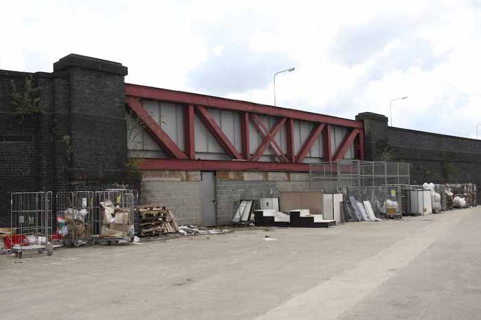 |
This is the High Level
Bridge which carried the road and rail over the canal. Just on the other
side of this bridge is Halfpenny Bridge
Photo taken April 2010 |
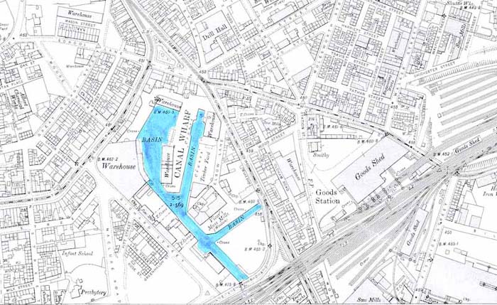 |
The map dates from 1908.
The map shows the Rochdale Basin from where the
canal emerges from under the
High Level Bridge. |
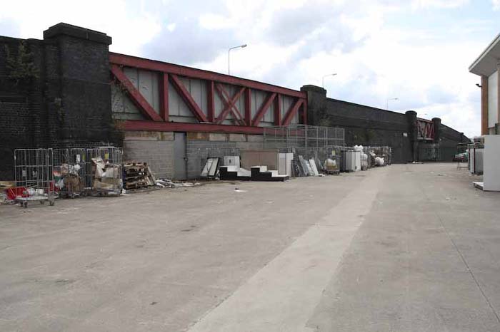 |
Another view of the High Level
Bridge. The building on the right is the Matalan Store. |
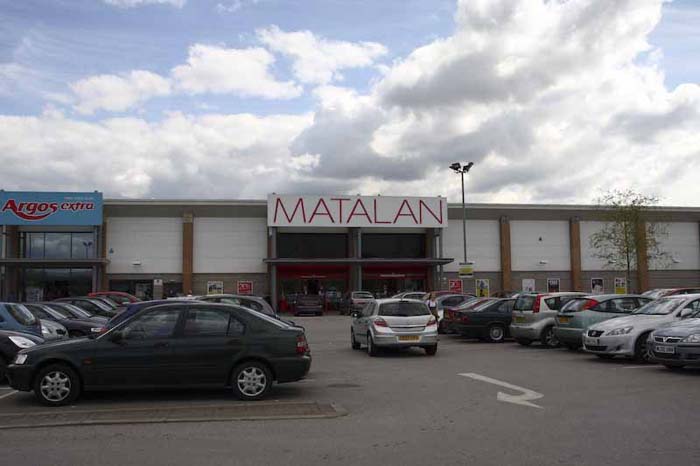 |
The Matalan Store and the
others on this retail park are built over what was the Rochdale Canal
basin. See Map.
Photo April 2010 |
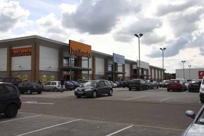 |
Another view of the Stores
built over the Canal Basin.
Photo April 2010. |
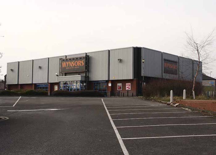 |
This Store is built where
a large warehouse stood (see next Photo) on the corner of Drake Street
and Maclure Road.
Photo March 2010 |
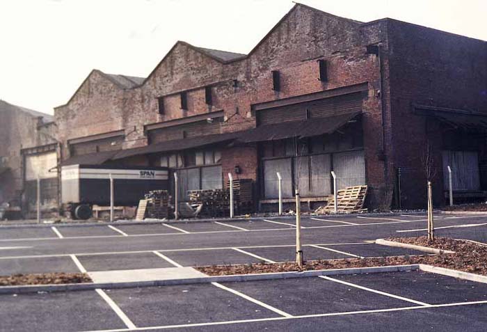 |
Part of the Old warehouses
that once stood on the corner of Drake Street and Maclure Road.
Origonal photo taken about 1983. |
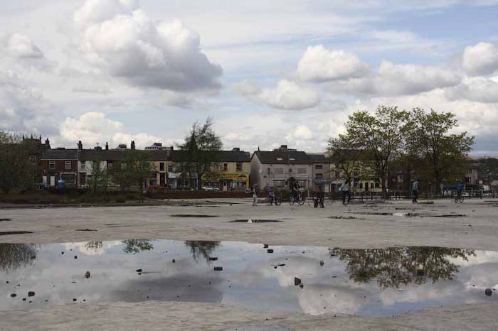 |
This is the area of the
Basin infront of the old warehouses, with the houses on Drake Street in
the background.
Photo Arril 2010 |
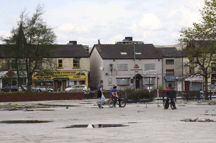 |
A view from the basin area
across to Drake Street with the now closed Navigatio Inn.
PhotoApril 2010. |
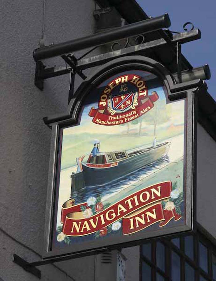 |
Many of the Public Houses
along the 'Rochdale' show their association with the Canal. No
more than this one.
Photo April 2010. |
| |
|
Return
Manchester to Failsworth
Failsworth to Castleton
Castleton to Rochdale
Rochdale Basin
Rochdale to Littleborough
Littleborough to Todmorden
Todmorden to Hebden Bridge |
| |
|


