The Rochdale Canal |
||
|
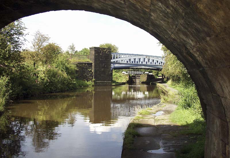
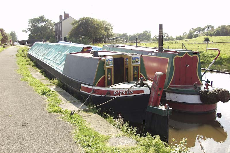
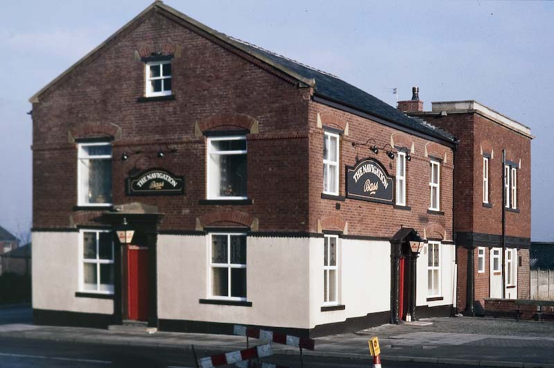
A photographic journey along the Rochdale Canal from Manchester to Sowerby Bridge in Yorkshire. The photographs have been taken over the last twenty five years. During that time the 'Rochdale' has been transformed from an abandoned waterway to a canal that has been restored to full navigation.
|
||
|
|
||
|
From Castleton
to Rochdale
|
|
|
|
|
 |
|
|
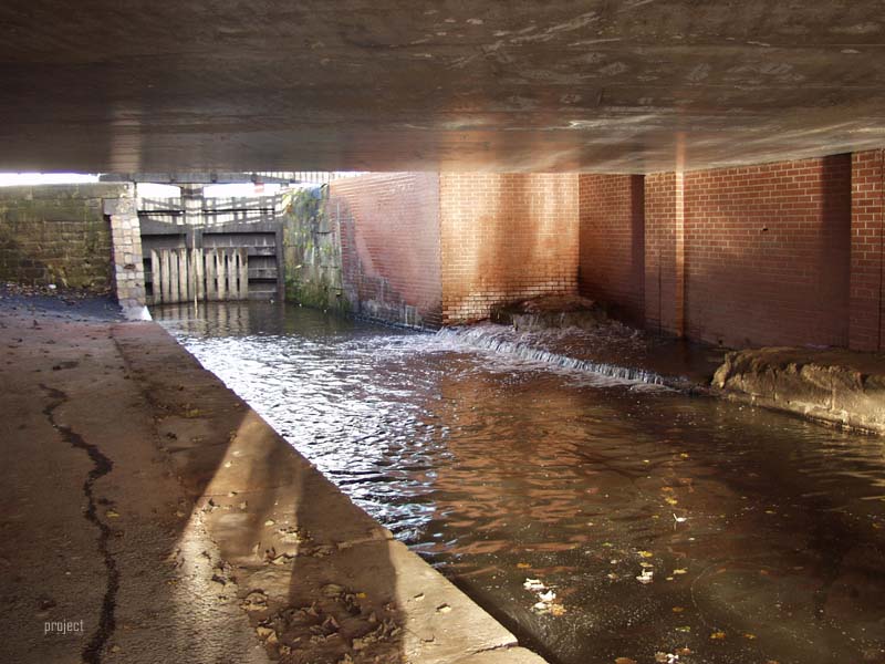
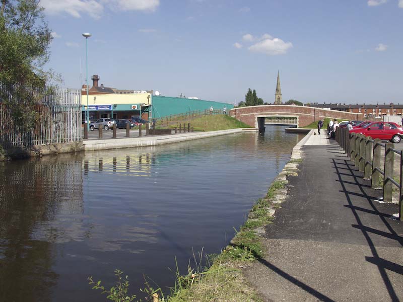
Photo 2002 The Supermarket demolished and the Canal restored. (Note the Church Spire)
|
|
|
|
 |
|
|
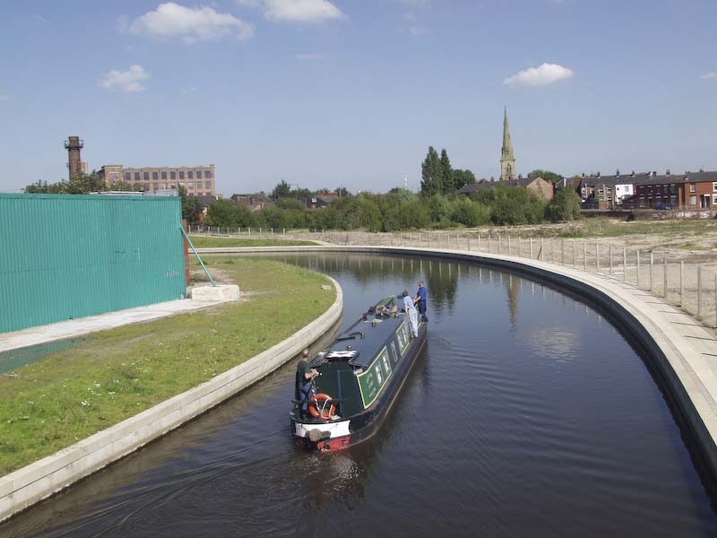
Photo 2002
|
 |
|
|
 |
|
|
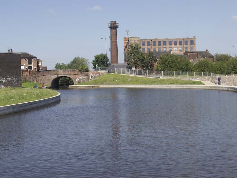
Photo 2002 The Oldham to Manchester Road Bridge at Failsworth
|
.
|
 |
|
|
|
 |
|
|
 |
|
|
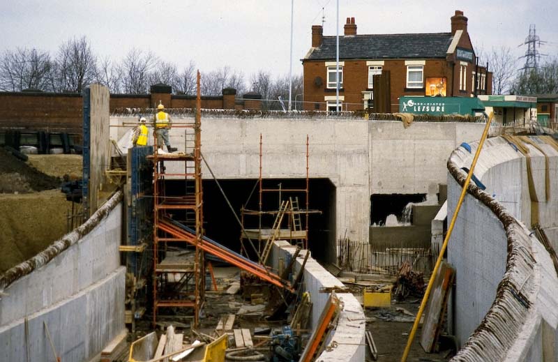
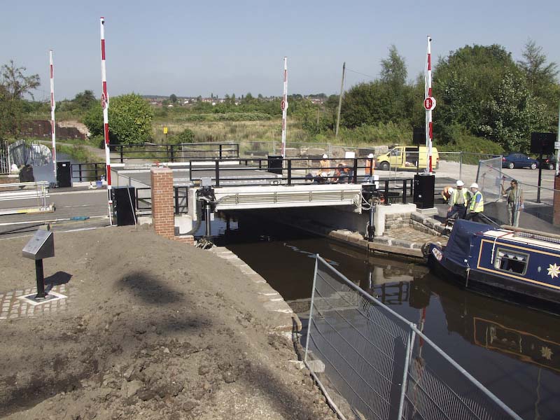
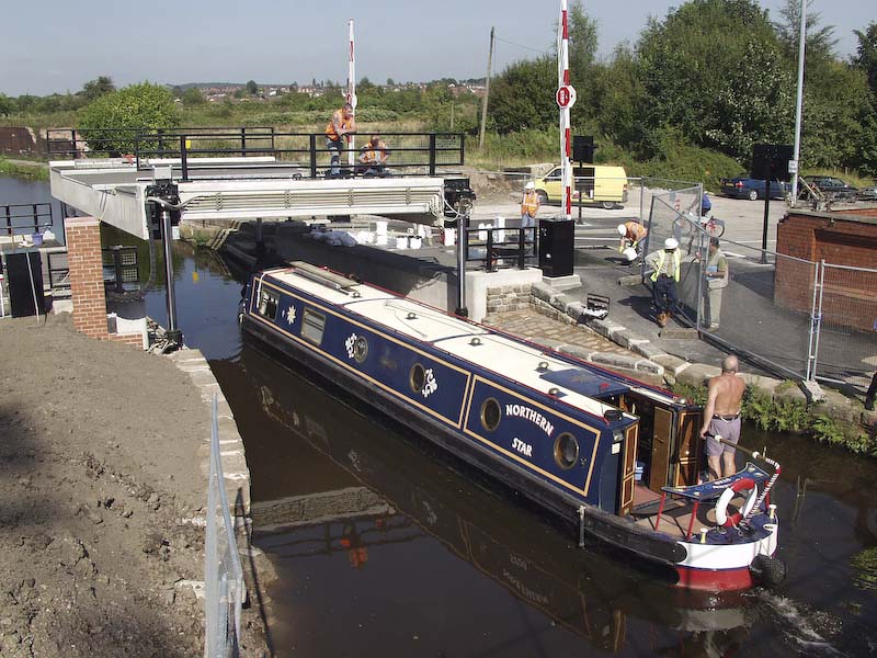
Restoration and rerouteing of the canal at Chadderton Broadway with the building of the M60
|
 |
|
|
|
 |
|
|
 |
|
|
 |
|
|
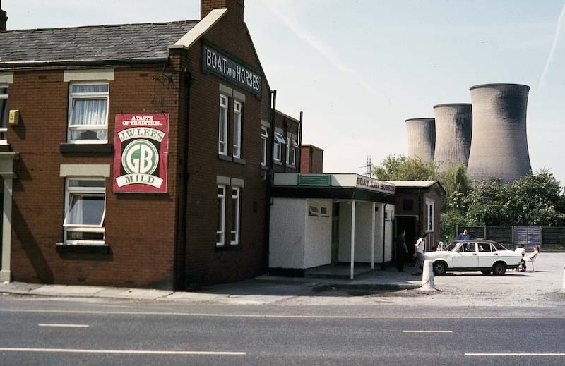
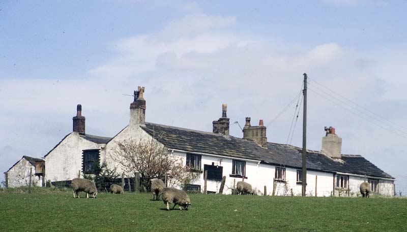
Once a Public House close to the Canal at Walk Mill Lock
|
|
|
|
|
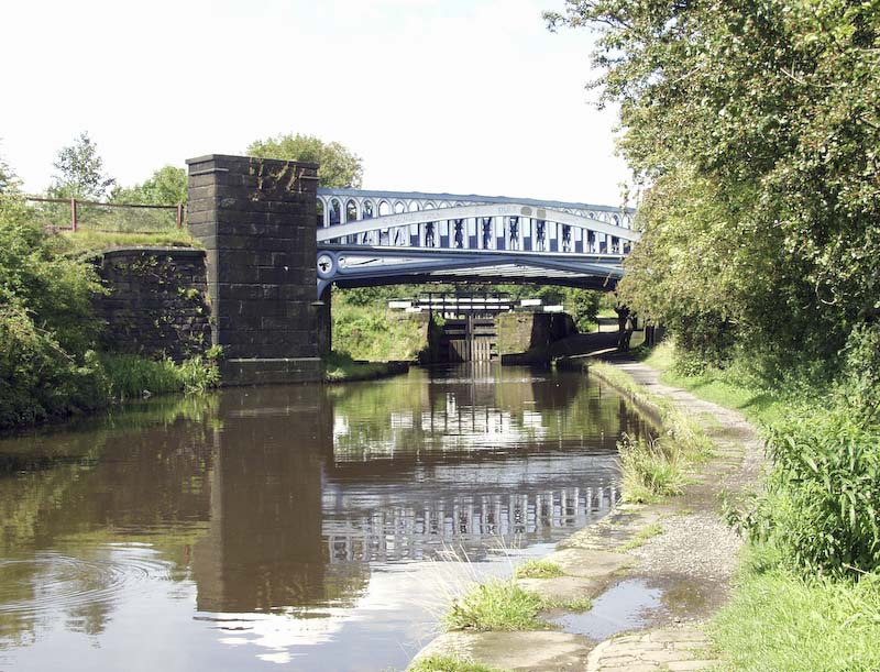
The Railway Bridge known as the 'Iron Donger' whichcrosses the canal near Walk Mill Lock.
|
|
 |
|
|
 |
|
|
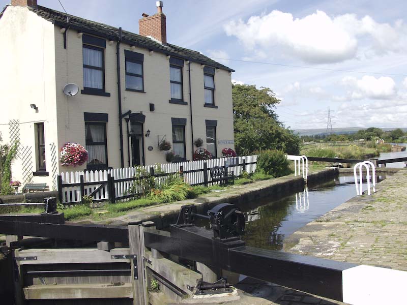
Slattocks Lock and Lock House with the Pennine Hills in the distance.
|
|
|
|
Boats morred at Slattocks.
|
|
 |
|
|
 |
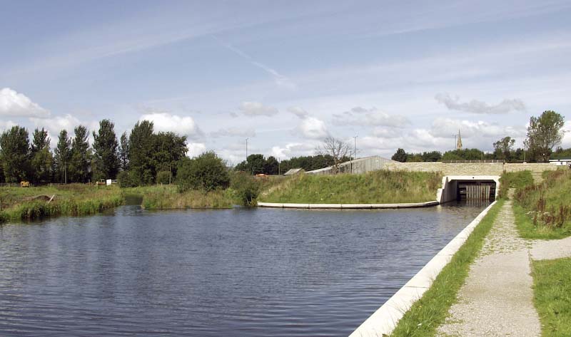
The diagram opposite shows the old channel and the new channel with the new lock 53. Yhe old lock 53 no longer exists. |
|
|
|
|
|
 |
|
|
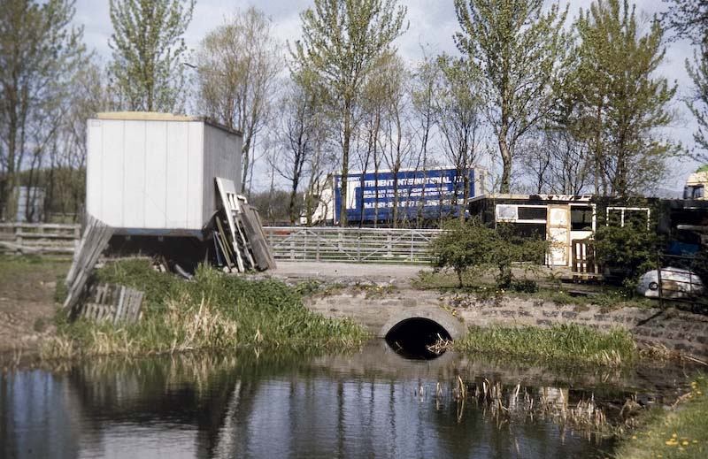
The old channel with the culvert under the M62.
|
|
 |
|
|
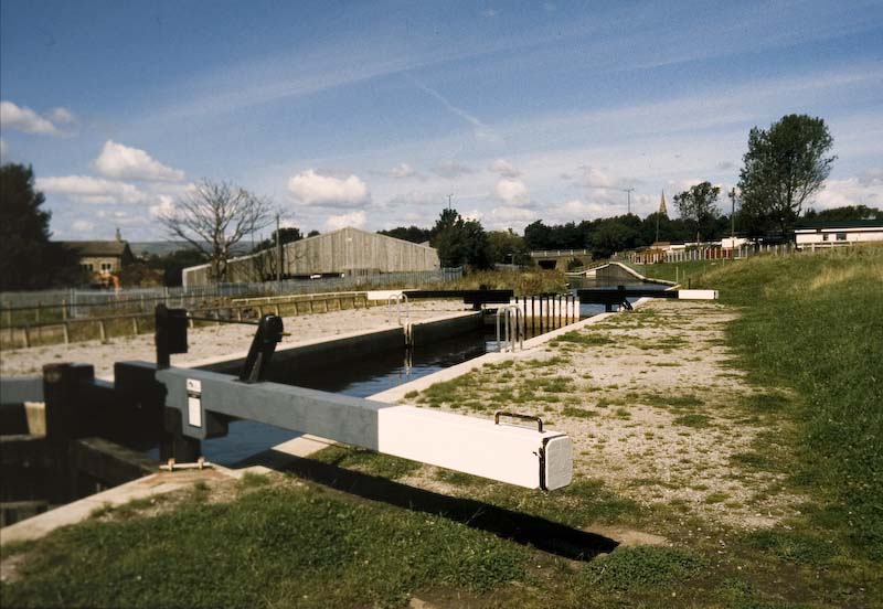
The new lock 53.
|
 |
|
|
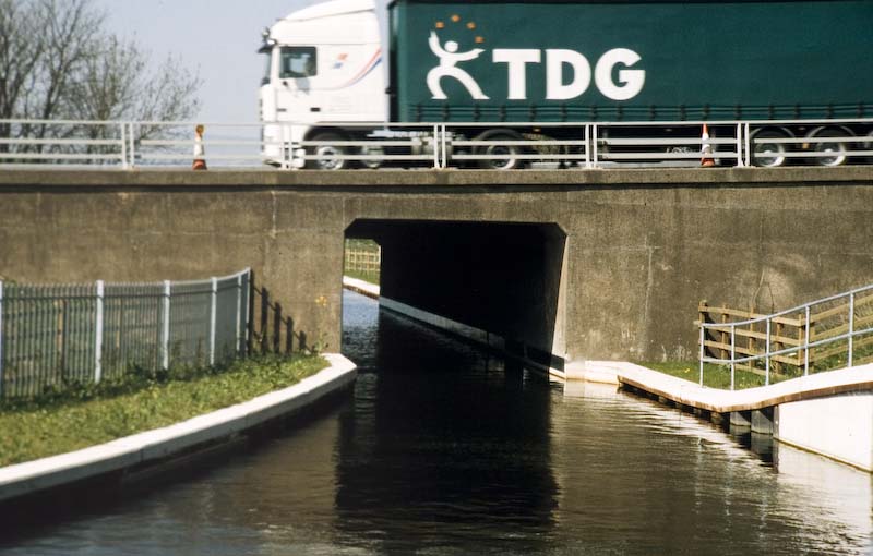
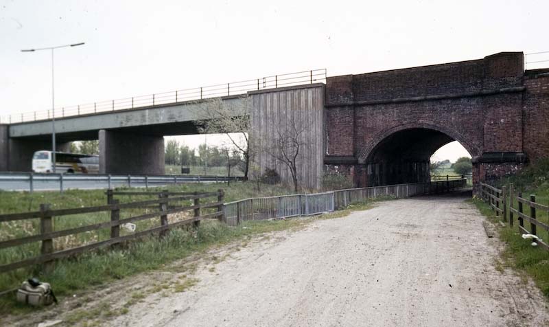
The route of the new channel under the M62 makes use of an existing bridge which was once a farm track.
|
|
 . . |
|
|
 |
|
|
|
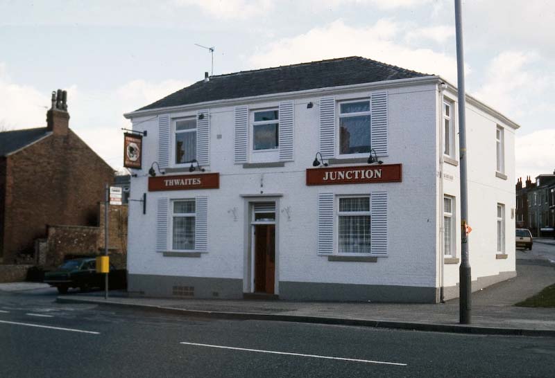
The Navigation Inn on the Manchester Road Heywood marks the end of the heywood branch of the canal.
|
|
 |
|
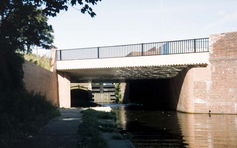
The new bridge over the canal in the centre of Castleton.
|
|
 |
|
|
|
|
||
|
The journey continues on the next page. From Castleton through Rochdale
|
||
|
|
